Precise, actionable, cost-effective
Remote Sensing and Aerial Mapping
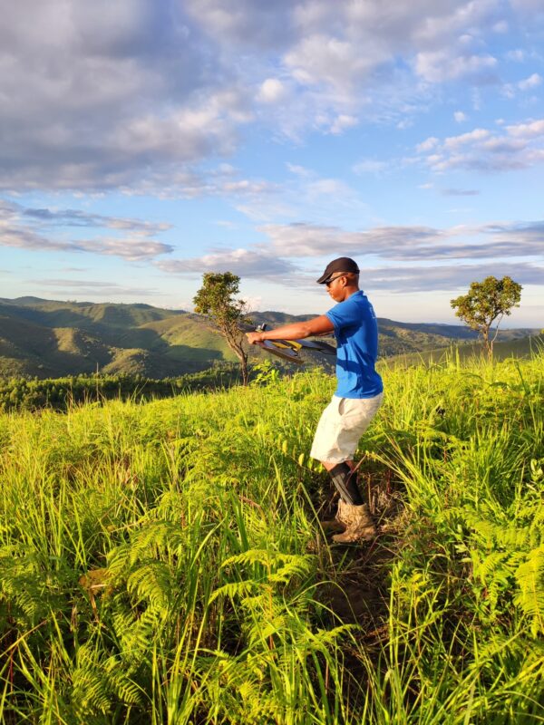
High-resolution data capture from the sky in land-use planning, cadastral mapping, agriculture and more. You get customized visuals and analytics for informed decision making.
Remote Sensing
- Drone mapping
- Drone data analysis
- Large-scale aerial mapping
NComputing Systems
- Schools
- Hospitals
- Conference Centers
<<Coming Soon>>
3D capture to inspect, market or redesign a real world space.
Perfect for homes, apartments, hotels, commercial buildings.